Monday, February 7, 2011

Tandubas, Tawi-Tawi


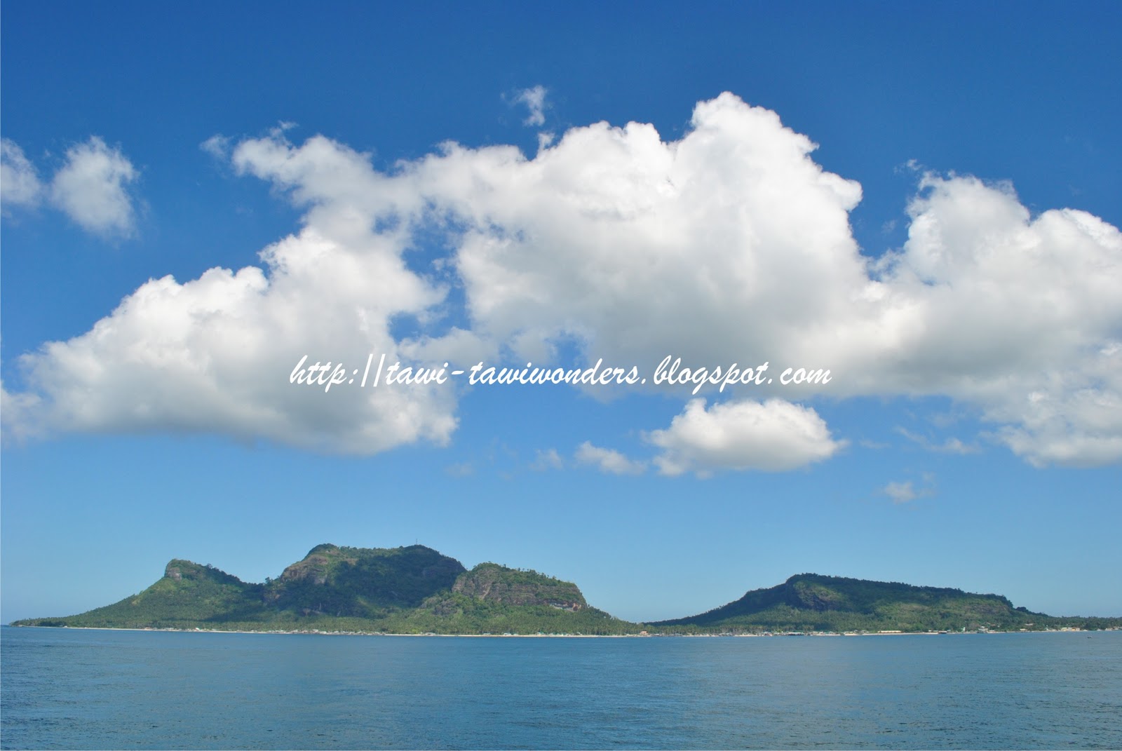
Tandubas is a 3rd class municipality in the province of Tawi-Tawi, Philippines. According to the 2000 census, it has a population of 24,900 people in 3,935 households. Brief history
The Municipality is approximately sixty-three (63) kilometers away from the Municipality of Bongao, the capital town of Tawi-Tawi. From Bongao it is accessible by water transportation. Travel time from the port of Bongao to the Municipality of Tandubas would take about five (5) hours using a motor launch with an average speed. For a speedboat or a fast craft it will only take about an hour.
Tandubas is composed of twenty (20) barangays. Twelve (12) of them are located in the island of Tandubas. They are, Tongbangkaw, Tapian, Ballak, Kakoong, Tangngah, Silantup, Butun, Kepeng, Sallangan, Tapian Sokah, Sibakloon and Sapa. Two (2) barangays are located in Tingungun Island. They are Kalang-kalang and Salamat. One (1) barangay is located at Naungan Island that is barangay Naungan. Two (2) banaragays are located at Tandubato island, they are, barangays Lahay-Lahay and Tandubato, Two (2) barangays are located in the mainland of Tawi-Tawi, they are barangays, Himba and Baliongan. One barangay located at Taruk Island that is Barangay Taruk.

Barangays

Tandubas is politically subdivided into 20 Barangays.
  • Baliungan
  • Kakoong
  • Kepeng
  • Lahay-lahay
  • Naungan
  • Sallangan heya & sallangan diki
  • Sapa
  • Silantup
  • Tapian
  • Tongbangkaw
  • Tangngah (Tangngah Ungus matata)
  • Ballak
  • Butun
  • Himbah
  • Kalang-kalang
  • Salamat
  • Sibakloon
  • Tandubato
  • Tapian Sukah
  • Taruk


Monday, January 31, 2011

Sunrise @ Bongao, Tawi-Tawi

Bongao Peak from the ocean


What a perfect sunrise right??? That's only in Tawi-Tawi.

credit to the owner

Tuesday, January 4, 2011

New Year @ Tawi-Tawi


These are the photos of Fireworks in Tawi-Tawi Provincial Capitol during 2011 New Year's Eve. Everywhere in the Globe celebrates the coming of New year. Tawi-Tawi is one of the places that doesn't forget the coming of new hope, new life and new development in the coming of new year.

Photo Courtesy of Mr. Julhaber Bassal

Wednesday, December 8, 2010

Bongao Downtown

Bongao downtown at Day time:


 please click on image to view at full size

Bongao is really a great place. You can have a perfect sight seeing like this when you're at the Capitol Hills (Provincial Office). That's the look of Bongao at day time. The other islands related to Bongao is clearly visible by your naked eye. The mountains over there are Bud Tawi-Tawi (Tawi-Tawi Mountain, largest mountain in Tawi-Tawi) at Languyan Tawi-Tawi and the rest are Bud Siyula (Siyula Peak), Bud Masantong (Masantong Mountain, the smallest one) and Bud Tamhil (Tamhil Mountain) are also part of Bongao. The narrow island in between is the Tong-Sinah (China Town) and Pababag.

And here's the view of Bongao during Night time:

 please click on image to view at full size

What a perfect view right? That's what Bongao Downtown looks at Night time.

Photo Courtesy of Mr. Julhaber Bassal

Friday, December 3, 2010

The Majestic Bongao Peak from the ocean


Bongao Peak is Famous because of its extraordinary shape and that makes Bongao Muicipality being a tourist spot in the Southern Philippines and advance in tourism than other municipalities in Tawi-Tawi province. Sometimes it looks like an elephant, sometimes a turlte. Depending on where's side your at when you look at it.

By the way Bongao is a first class municipality of  the province of Tawi-Tawi, Philippines consisting of 35 barangays. It is the most populous municipality in the province and ofcourse the Capital municipality.


Tuesday, November 30, 2010

Panampangan, Sapa-Sapa Tawi-Tawi

Panampangan Island also called as 
Tawi-Tawi Virgin Island


Panampangan or Virgin Island is one of the islands of Sapa-Sapa Municipality in Tawi-Tawi Province. It is called as the Virgin Island in the sense that it not well known to many tourists as well as people of the province. It is more or like Boracay, the most visited and adored beach in the Philippines.

Sunday, November 28, 2010

Turtle Island, Tawi-Tawi-Tawi


Turtle Islands, also know as Turtle Isles, is a 5th class municipality composed of a seven remote group of islands in the province of Tawi-Tawi in the Philippines. The islands are located at the southwestern tip of the country, at the edge of the international treaty limits separating the Philippines and Malaysia. The seven islands from northwest to southeast are Sibaung, Boan, Lihiman, Great Bakkungan, Langaa, Taganak and Baguan.

You can reach this island via lantsa18 hours from Bongao and only 2 hours if you are from Malaysia.

Photo courtesy of Mr. Riza I. Pajiji.

Mapun Tawi-Tawi

Mapun Islands, Peaks and its Lakes.


 please click on image to view it at full size

Mapun is a 4th class remote municipality in the province of Tawi-Tawi, Philippines. According to the 2000 census, it has a population of 22,011 people in 3,492 households. Mapun (formerly Cagayan de Tawi-Tawi or Cagayan de Sulu) is an island in the Sulu Sea on the southwestern extreme of the Philippines. There are 15 barangays in Mapun namely:
  • Boki
  • Duhul Batu
  • Kompang
  • Lupa Pula
  • Guppah
  • Mahalu
  • Pawan
  • Sikub
  • Tabulian
  • Tanduan
  • Umus Mataha
  • Iruk-Iruk
  • Liyubud (Pob.)
  • Lubbak Parang
  • Sapah


Photo courtesy of Mr. Riza I. Pajiji